30 maggio 2015
3^ tappa
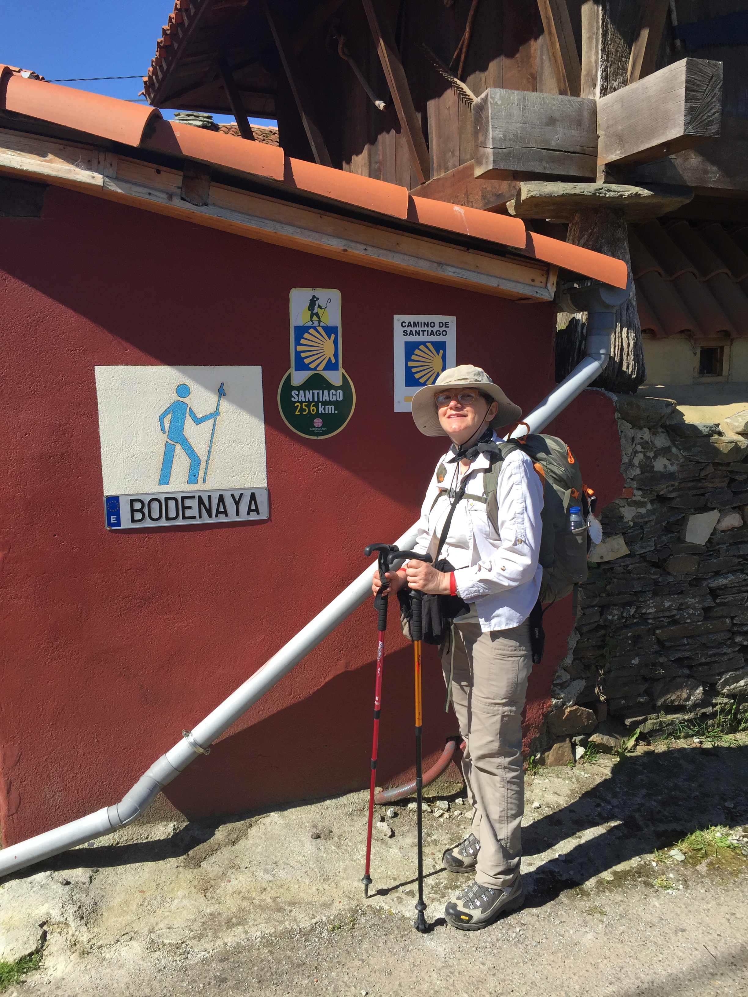
Salas-Tineo 21,2 km.
Siamo a 225 m s.l.m.
30 May 2015
3rd stop
Salas-Tineo 21.2 km.
225 meters above sea level.
Tips del giorno:
1-iniziare molto lentamente per conservare le energie per le dure salite che poi seguono.
2-nonostante la giornata soleggiata, tanto fango tra San Justo y Pastor ed Ermita di San Roque, bisogna assolutamente evitare questo tratto in caso di pioggia.
Today’s tips:
1-start very slowly to keep the energies for the tough hike up-hill which came later.
2-even though today was very sunny, we had a lot of mud between San Justo y Pastor and Ermita di San Roque. This path has to be absolutely avoided on rainy days.
Oggi, bella giornata. Dopo una ricca colazione nell’accogliente albergo, usciamo da Salas e immediatamente ci addentriamo in un bellissimo bosco già in lieve pendenza. Il sentiero è attraversato da innumerevoli ruscelli. Intorno a noi, castagni, noccioli, querce, eucalipti. Il sentiero sassoso che ripercorre l’antica “calzada romana” si inerpica di fianco al letto del rio Nonaya.
Poco prima dell’imponente ponte romano del Carcabon, su una breve deviazione, si possono ammirare le belle cascate del rio Nonaya immerse in una natura lussureggiante.
Today it was good weather. After a rich breakfast in the hotel, we exit Salas and we immediately enter a wonderful wood already going lightly uphill. The path is crossed by thousand streams. We are surrounded by chestnut, hazelnut, oak, eucalyptus trees. The rocky path that runs on the ancient “calzada romana”, climbs along the the rio Nonaya.
A little before the stunning Roman bridge of Carcabon, with a small deviation, we can admire the beautiful waterfalls of the rio Nonaya, surrounded by rich nature.
Appena passato il ponte, il sentiero sale in modo così ripido che persino una capretta potrebbe sentirsi disagio. Per fortuna questo tratto dura poco e ci si immette ben presto su la statale che si segue per circa 1 km in un paesaggio dominato dal viadotto dell’autostrada che torreggia sopra di noi.
Poco dopo, il sentiero sale ancora molto ripido fino ad arrivare a Porciles a 650 m s.l.m. Ci voltiamo alle nostre spalle per osservare il panorama e ci rendiamo conto che in poco più di 4 km siamo passati da 225 m a 650.
As soon as we pass the bridge, the path continues uphill in a very steep way that even goats would find it unconfortable. Luckily this part is short and, soon after, the path turns into a state road we follow for about 1 km in a scenary characterized by the highway’s overpass above us.
Soon after, the path goes again steeply uphill until it reaches Porciles at 650 meters above sea level. We look behind us to look at the panorama and we realized that in just over 4 km we went from 225 to 650 meters of altitude.
Il sentiero ora si fa agevole, spiana su l’Alto de La Espina. Sull’altopiano dominano le pale eoliche in un paesaggio punteggiato di horreos, fattorie e ricchi pascoli.
Arrivati nel paese di La Espina, decidiamo di fare uno stop per un boccadillo. Rimaniamo sorpresi da come i prezzi siano diversi di volta in volta. Siamo partiti da un costo di 8€ a Venta de Escamplero, 5€ a Doriga e 3,60€ qui, a La Espina, variazioni enormi in pochi chilometri.
The path now becomes more smooth, levelled on the Alto de La Espina. The plateau is characterized by wind farms in a land scattered with horreos, farms and rich pastures.
Once arrived in the town of La Espina, we decide to stop for a boccadillo. We are susprized by how the prices change day by day. We started with 8 euros at Venta de Escamplero, 5 euros at Doriga and here, 3.60 euros. A big difference along not many km.
Dopo La Espina inizia un sentiero famoso per essere molto fangoso, anche in caso di bel tempo, a causa dei molti rivoli e ruscelli che non hanno sfogo e che si riversano sul sentiero.
Da qui fino a Tineo è un continuo entrare ed uscire dal fitto bosco, in perpetuo saliscendi. Siamo sul “Camino de los Reconcos” nella valle di Los Lomos. Arriviamo a più di 800 m di altitudine per poi raggiungere Tineo a 650 m.
Anche qui troviamo un bel albergo. È il Palacio de Merás, un edificio del 1525 con due belle torri laterali, lo stile è quello asturiano del XVI secolo.
After La Espina the path turns very muddy and is well-known for that, even under the sun due to the many streams running along and across the path.
From here to Tineo the path keeps entering and exiting a thick wood, all up and down. We are on the “Camino de los Reconcos” in the valley of Los Lomos. We reach the 800 meters above sea level and then go back to the 650 meters at Tineo.
Also in Tineo we find a nice hotel. It is the Palacio de Merás, a 1525 palace with two beautiful side towers following the Asturian style of the XVI Century.